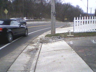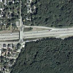
Seminole Highway is a North-South road connecting Madison to Fitchburg. It has long been a popular 'escape route' for the many bicyclists in the Madison area. It has two traffic lanes (one in each direction), with additional bike-only lanes on either side. In recent years, however, a large amount of urban sprawl in Fitchburg and other nearby areas has resulted in a corresponding increase in motor vehicle traffic.
This project (I assume) was designed to cope with inceasing traffic congestion, and to mitigate some of the conflicts between bikes and cars. Traffic lights were installed at both intersections with the Beltline Highway frontage roads. According to one official with the project:
Prior to construction, bicyclists entering the intersection from the south encountered difficulties because it is an uphill slope, and cars would come up from their behind and cross over the bike lane to turn right onto the frontage road. There was a very small right turn lane at the intersection, and right turners would regularly back up due to the insufficient storage and encroach on the bike lane. The new roadway width substantially lengthened the right turn lane, and also placed the mark bicycle lane between the right turn lane and the through lane (as per the manual). The northbound approach has a 10-ft left turn lane, an 11-ft thru lane, a 5-ft bike lane, and a 10-ft to flange (12-ft to face) right turn lane. All of these are commonly accepted lane widths in urban settings.
There are two problems in the Northbound lane.
First, in the engineering: as noted above, standard width for a bike lane in this configuration should 5 feet, but the actual width is less than four feet
Second, in the design: theoretically, it should be safer for cars in the Northbound lane to cross over the bike lane into the right-turn lane. However, my observations indicate that many motorists are ignoring the dashed lines and crossing in front of (instead of behind) bicyclists.
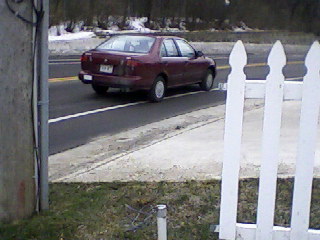
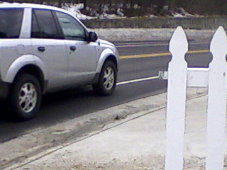
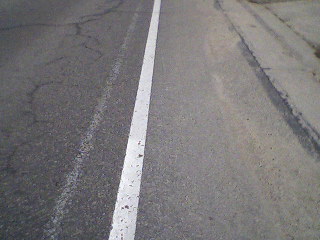
Even though the overall road was widened, squeezing an extra lane meant that the bike lanes got narrower This was quite obvious at the the Southern edge of the project area, where the old white line (mostly scrubbed out) is partially visible, and is it least 6 inches further than the new white line (see Fig 2. ).
After I wrote up my observations on a bicycle discussion list, the city Engineer asked for comments about this issue from city and state staff. From this we learn:
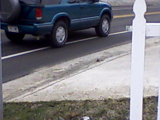
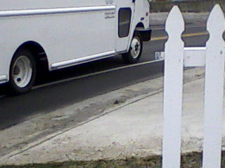
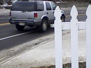
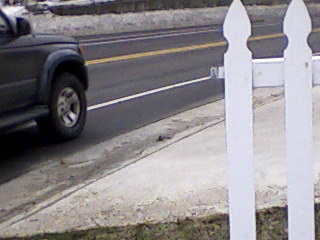
The narrower traffic lanes created an especially dangerous situation in the Southbound lane, just South of the intersection, where the road curves to the right. From my observations, most motorists (who are typically exceeding the speed limit) partially or significantly cross into the bike lane as they make the curve. This is clearly verified in Figure 3 below.
Note that this is a fairly representative sample of cars taken in a short (10 minute) period.